
4 regions, 4 landscapes
Tap a region on the map or pick it from the tabs.
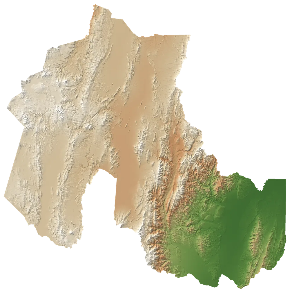
Tap a region on the map or pick it from the tabs.
The high plateau: more than half of the province, above 3,400 metres. Salt flats, lagoons, vicuñas and adobe villages.
Places Ways to visit See Puna →A valley of coloured mountains declared a World Heritage Site, with villages over 400 years old and the Hornocal, the Hill of 14 Colours.
See Quebrada de Humahuaca →The mild south of the province, with the capital, San Salvador de Jujuy, the gateway through its airport.
The eastern mountain forest: cloud forests, rivers and Calilegua National Park.
Airport transfers with a fixed price and online booking. Find a transfer →
Map: relief from Copernicus DEM GLO-90 (© DLR e.V. 2010-2014 and © Airbus Defence and Space GmbH 2014-2018, provided by ESA under the Copernicus programme). Boundaries: © OpenStreetMap contributors (ODbL).